Skipanon River
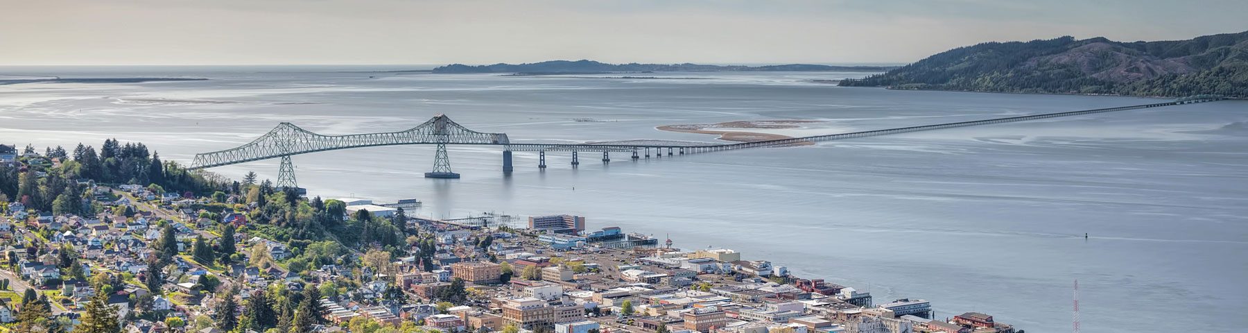
 The Skipanon River Watershed is located in the extreme northwest corner of Clatsop County in Oregon. The Skipanon River is approximately 6 miles long with the headwaters above and draining into Cullaby Lake. The River enters the Columbia River at river mile 10.7. The watershed includes the city of Warrenton (4,040 population) as well as a mixture of rural residential, pasture / agricultural, marine industry and forest lands. The watershed is approximately 18,000 acres.
Elevations in the watershed range from sea level at the confluence of the Skipanon and Columbia Rivers to 430 feet at the south boundary. The topography of the watershed is characterized by flat, low lying bottom land bordered by elongated, moderately rolling sand dunes with steeply sloping lands in the southeast.
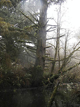
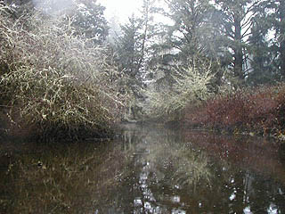
The Skipanon River Watershed receives an average rainfall of 80 – 100 inches, most falling during the winter season (Nov.-March). The precipitation is composed almost entirely of rainfall with slight occurrence of fog drip. Light snowfall occurs at rare intervals and seldom remains on the ground for any length of time. The Watershed supports populations of anadromous fish including coho, lamprey eel, and cutthroat trout, as well as warm water fish such as carp, bullhead, and bass.
History of the Skipanon Watershed Council
For many years citizens of Warrenton and the Clatsop Plains voiced their concerns about the declines in water quality, salmon runs and recreational opportunities caused by flood control structures on the Skipanon River. The structures were built by the United States Department of Agriculture/Soil Water Conservation Service in the early 1960’s and managed by the Skipanon Water Control District. Specifically, the 8th Street Dam and tidegate structures proved to be expensive to maintain with frequent failures of the gates and uncertain flood control value.
In 1994-1995 the local SWCD, in cooperation with the Skipanon WCD and the City of Warrenton applied for a $60,000 grant from the Governor’s Watershed Enhancement Board to remodel the structure. While the grant was denied, local citizens continued to seek assistance from the Oregon Department of Environmental Quality, Bonneville Power Authority and Oregon Department of Fish and Wildlife. In 1996 a 1 square foot hole was cut in a tidegate at the 8th Street Dam by the Skipanon WCD to allow for minimal flow and fish passage. The District also held public hearings which brought together government agency representatives and local citizens. The hearings were hosted by then State Representative Tim Josi. With multiple concerns and issues presented at these hearings it was suggested by a local citizen that a Watershed Council be formed. The USDA/Natural Resource Conservation Service (formally SWCS) proposed a hydrological analysis of the system. By January 1997, local citizens began meeting to form a Watershed Council and have met monthly ever since.
 Today
Today
Today, local residents and Watershed Council Members are still focused on salmon, water quality and quality of life concerns. Specific concerns regarding impacts to water quality are: flow modification, temperature, nutrients and aquatic weeds. The waters of interest include both the surface waters of stream systems / wetlands as well as the many lakes within the watershed. There is also concern about protecting the Clatsop Plains aquifer.
The City of Warrenton, located within the watershed is one of the fastest growing communities in Oregon. Concerns surrounding commercial and residential development within the flood plain include the filling of wetlands and the subsequent losses of wetland functions. Especially of interest are the wetland functions: fish and wildlife habitat, water quality, hydrologic control, and aesthetic quality.
The Oregon Department of Environmental Quality has 303D listed the Skipanon River (dissolved oxygen) and Cullaby Lake (aquatic weeds) in the 1998 state listings. Waterbodies with possible problems on DEQ’s 1998 “Need More Data” list include Cullaby Lake (nutrients), Skipanon River (flow modification, nutrients, algae or weeds and temperature) and Smith Lake (nutrients). DEQ has noted, as well as preliminary watershed assessment work reveals ~ a limited data set relative to baseline water quality parameters for the Skipanon River. Skipanon River Watershed Council, Smith Lake Neighborhood Association members and Cullaby Lake residents are gathering baseline ambient water quality information about the surface waters of the Skipanon River, Smith Lake and Cullaby Lake.
The data collected will be used by Skipanon River Watershed Council members, state agency staff and Smith Lake Neighborhood Association members to characterize current water quality conditions, identify specific water quality problem areas, and begin enhancement and restoration projects. The data will also be incorporated into the Skipanon’s watershed assessment. The Watershed Council and Neighborhood Association will also use the data to educate and inform local residents on the connections between land use and water quality.
A Watershed Assessment of the Basin, funded by a grant from GWEB, is scheduled for completion in June 2000. This inventory of the natural resources of the Watershed will provide citizens and council members with a foundation of information to use in developing a restoration plan and projects list.
Watershed Assessment
The Council completed the Skipanon River Watershed Assessment in 2001 hiring E&S Environmental Chemistry. The assessment gives an overview of the basin, provides good historic context and highlights areas for potential restoration.
Read the Skipanon River Watershed Assessment
If you are interested in the Skipanon Watershed Council meeting minutes, please contact Brooke Stanley at northcoastwatershedcouncils@gmail.com.