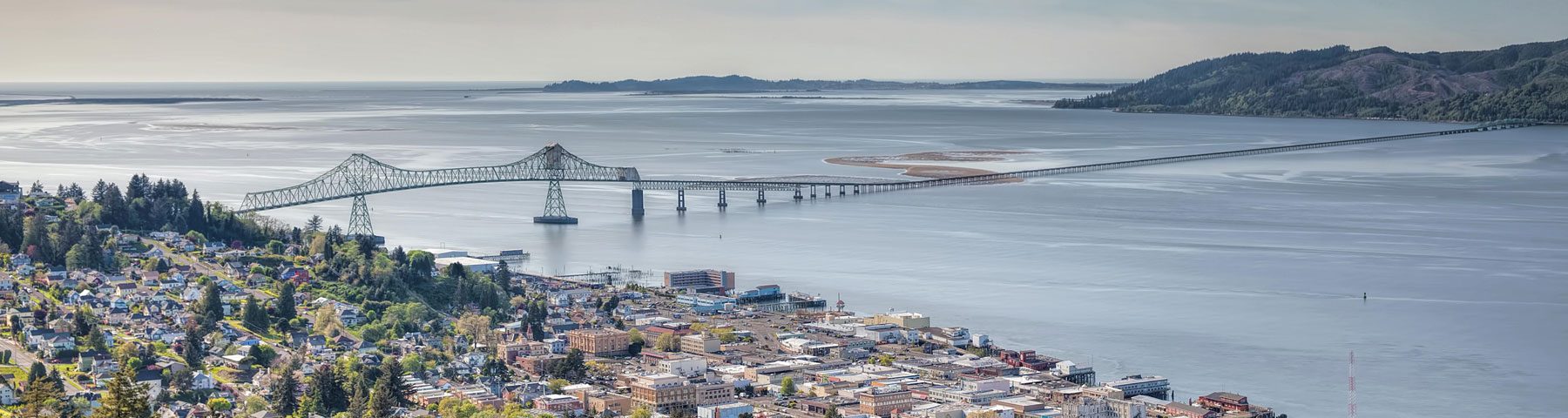
River Council
The River Council serves a number of watersheds that drain into the Columbia River including: Youngs Bay, Nicolai-Wickiup and Skipanon River. These watersheds and other tributaries remain diverse and individualized geographically, but are all connected by the Columbia River.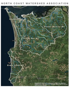
Nicolai-Wickiup Watershed
The land area along the south bank of the Lower Columbia River and just east and upriver of Astoria has always been a community. This land area is made up of a series of small streams flowing into the Columbia River Estuary with valleys that hold the communities of Burnside, Svensen, Brownsmead, and Knappa. Dominant stream systems include Big Creek and Bear Creek which are economically, ecologically and intrinsically important for the region. Headwaters within the watershed provide water for many municipalities such as the City of Astoria utilizing Bear Creek for the municipal water supply. The small farms of the lowlands are mostly devoted to raising cattle while the uplands of the watersheds are mostly managed for timber. 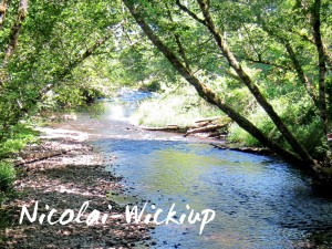
The Watershed Council completed the Nicolai-Wickiup Watershed Assessment in 2001 hiring E&S Environmental Chemistry. The assessment gives an overview of the basin, provides good historic context and highlights areas for potential restoration.
Read the Nicolai-Wickiup Watershed Assessment
Youngs Bay Watershed
The Youngs Bay Watershed is located near the mouth of the Columbia River in the northwest corner of Clatsop County. The Lewis and Clark River, Youngs River and the Walluski (also spelled Wallooskee) River are the dominant stream systems of the Basin. Lower reaches of the Lewis and Clark and Youngs River are part of the nationally-significant Columbia River Estuary which is incredibly biologically diverse and supports some of the largest anadromous fish runs in the world.
Dominant land use within the Youngs Bay Watershed is commercial forestry with 90% of the watershed owned by Greenwood Resources who remains an engaged and active partner of NCWA and numerous watershed restoration projects. Youngs Bay watershed also provides several communities with municipal water such as the City of Warrenton which utilizes the headwaters of Lewis and Clark River. 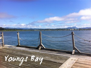
The Youngs Bay Watershed Council completed an assessment of the watershed in 2000. The assessment gives an overview of the basin, provides historic context and recommends restoration actions. The council uses the document as a guide for its restoration actions in the watershed.
Read the Youngs Bay Watershed Assessment
Skipanon Watershed
Skipanon River is approximately six miles long and winds through the Clatsop Plains area, City of Warrenton, and drains into the Columbia River at river mile 10.7. Headwaters of the river are above Cullaby lake which is part of the Skipanon River system. The watershed includes Warrenton, one of the fastest growing communities in Oregon as well as a mixture of rural residential, pasture / agricultural use, marine industry and forest lands.
Today local residents are focused on water quality and quality of life regarding flow modifications along the Skipanon mainstem, temperature, nutrient inputs, aquatic weeds, and wetland-function impacts of development within the flood plain. Waters of interest include both the surface waters of stream systems, wetlands of the many lakes within the watershed and protecting the Clatsop Plains Aquifer. 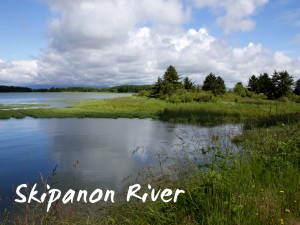
The Council completed the Skipanon River Watershed Assessment in 2001 hiring E&S Environmental Chemistry. The assessment gives an overview of the basin, provides good historic context and highlights areas for potential restoration.
Read the Skipanon River Watershed Assessment
Read the River Council Meeting Minutes