Watersheds
A watershed is the area of land where all of the water that drains off of it goes into the same body of water. All of Oregon is divided into watersheds according to designated drainage basins. These watersheds include streams, rivers, lakes, wetlands, and groundwater in the same geographical region.
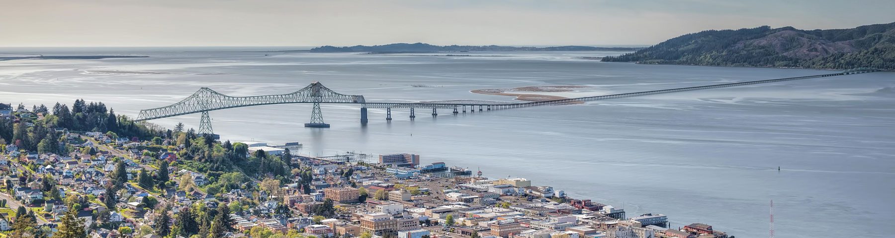
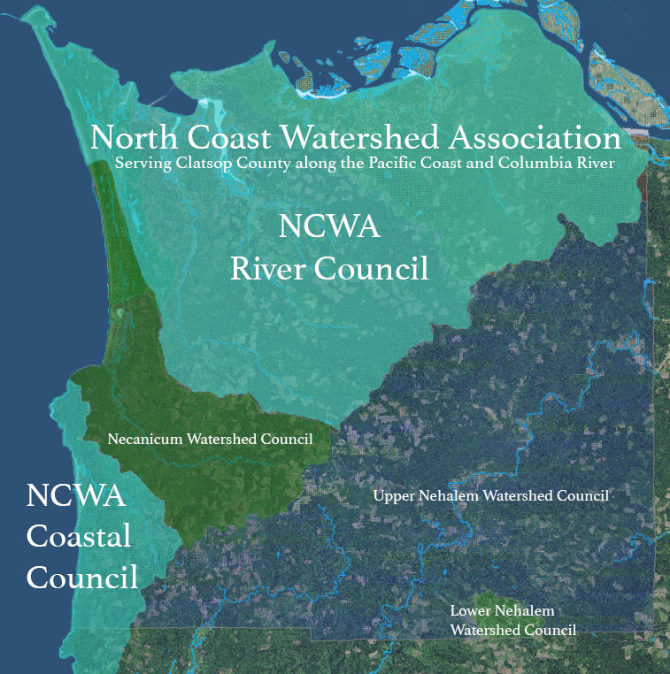
We serve four major watersheds: Skipanon, Nicolai-Wikiup, Youngs Bay, and Ecola Creek.
The North Coast Watershed Association incorporates two watershed councils; the NCWA Coastal Council serving Ecola, Arch Cape, Short Sands, Necarney, and other coastal drainages of Clatsop County; and the NCWA River Council serving Skipanon, Youngs Bay, Nicolai-Wikiup, and other Columbia River drainages in Clatsop County.
The role of the Councils is to represent their various communities to the North Coast Watershed Association’s Board of Directors. This input from the community is critical to determining the projects that the organization will focus on and for which they will pursue funding and community support.
Check out our interactive map! The watersheds we serve are brightly colored. Click the arrows in the top left corner to view the map legend. You can find which watershed you live in by looking for your lot outlined in yellow!